
Client/Development Partners: World Bank and UNOPS
Project Location: Baidoa, South West State of Somalia
Project: Somalia Urban Resilience Project II
Year: 2025
Service Category: Engineering Surveying, Topographic Survey and Infrastructure Data Collection
Implemented by: Geotech Engineering and Consultancy
Overview Project
Geotech Engineering and Consultancy is proud to contribute professional engineering surveying services to the Somalia Urban Resilience Project in Baidoa, an important urban-development initiative supported by the World Bank and the United Nations Office for Project Services—UNOPS.
The project is intended to support the development of safer, more accessible and climate-resilient urban infrastructure. As Baidoa continues to experience rapid population growth, urban expansion and increasing pressure on public services, accurate engineering data is essential for planning roads, drainage systems, public facilities and other critical infrastructure.
Our field team conducted surveying activities to collect reliable information about the existing ground conditions, elevations, physical features and proposed infrastructure locations. The information gathered through these activities provides an important technical foundation for design development, construction planning and project implementation.
Our Role in the Project
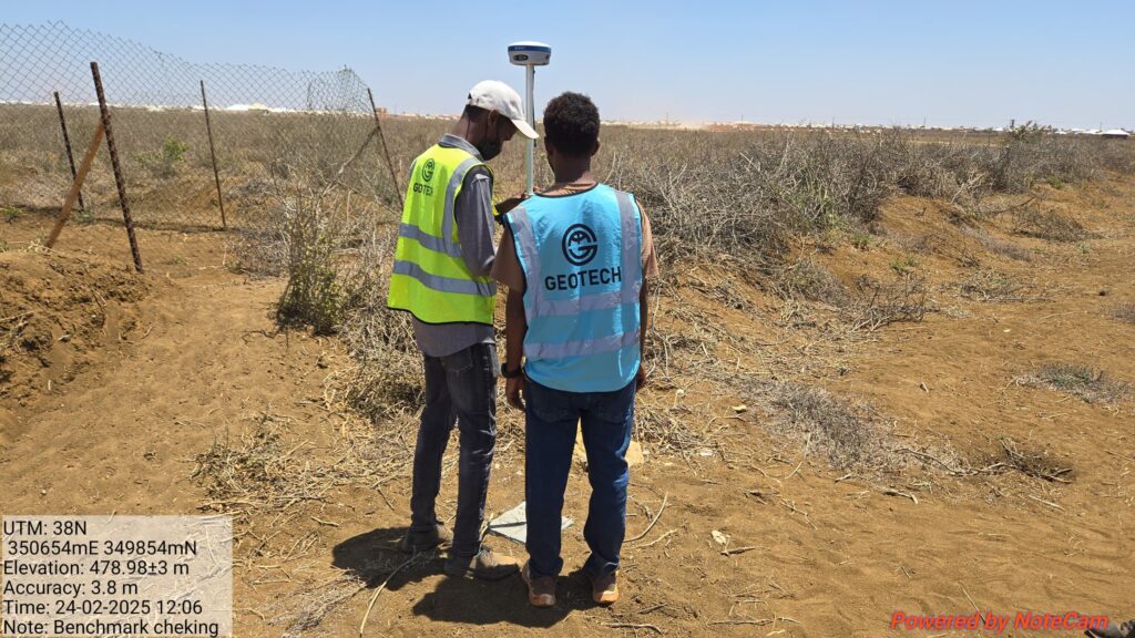
Geotech’s assignment focused on professional land-surveying and field-data-collection activities within the identified project areas in Baidoa.
Using modern surveying equipment, our team collected accurate coordinates and elevation data required for infrastructure planning and engineering design. The fieldwork included the establishment of survey points, observation of ground levels, identification of existing physical features and recording of site conditions.
The survey team worked carefully to ensure that all measurements were properly checked, recorded and prepared for use by engineers, consultants and project stakeholders.
Our activities included:
- Topographic surveying of selected project locations.
- Collection of ground coordinates and elevation data.
- Establishment and verification of survey control points.
- Identification of existing roads, structures and physical features.
- Longitudinal and cross-sectional level surveys where required.
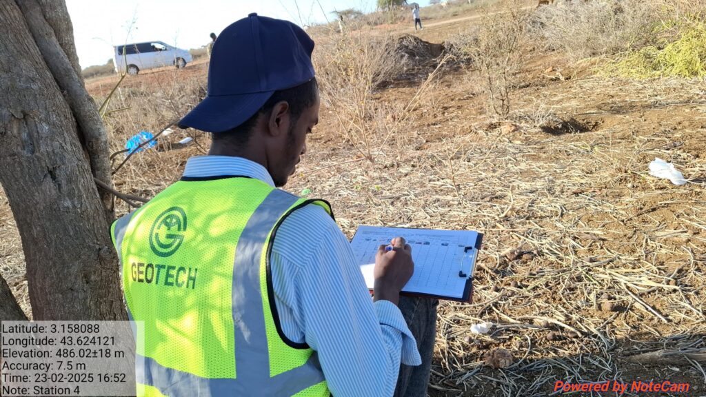
- Preparation of survey notes and field records.
- Support for infrastructure planning and engineering design.
- Verification of project locations and site boundaries.
- Processing and presentation of collected survey data.
Use of Modern Surveying Technology
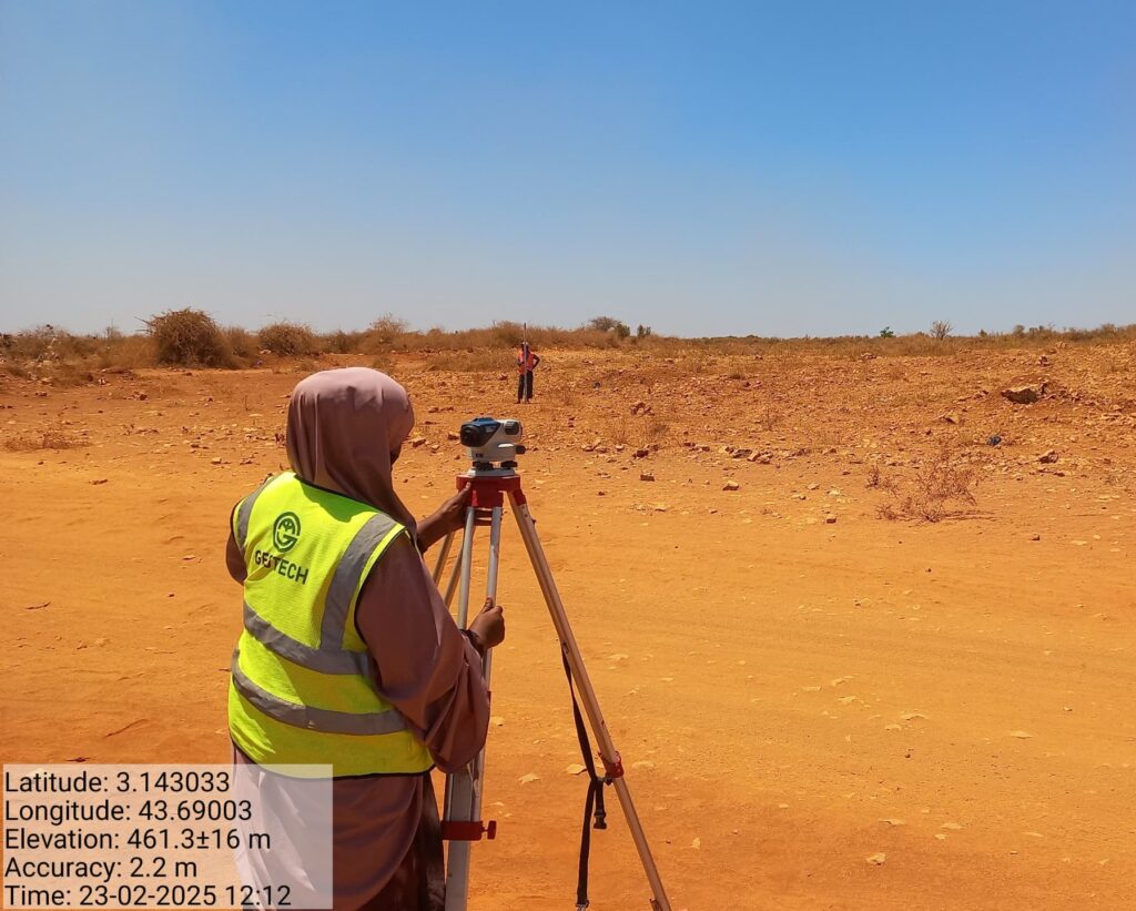
The field survey was carried out using professional surveying instruments, including a total station, together with supporting field equipment.
A total station enables surveyors to measure horizontal angles, vertical angles, distances and coordinates with a high level of accuracy. This technology allows our team to collect detailed site information that can later be processed into topographic maps, profiles, cross-sections and engineering drawings.
The use of modern surveying technology improved the accuracy and efficiency of the fieldwork while reducing the risk of measurement errors. All recorded observations were checked as part of our quality-control procedures before being prepared for engineering use.
Importance of Accurate Survey Data
Every successful infrastructure project begins with reliable information about the site. Inaccurate elevations, coordinates or boundary information can create serious problems during design and construction.
Accurate topographic data helps engineers understand the natural slope of the land, determine drainage directions, calculate excavation and filling quantities and identify potential construction challenges before work begins.
For urban infrastructure projects, survey information can support the design and construction of:
- Urban roads and access routes.
- Stormwater drainage systems.
- Culverts and crossing structures.
- Public markets and municipal facilities.
- Pedestrian walkways.
- Utility corridors.
- Flood-protection infrastructure.
- Other climate-resilient public facilities.
By providing accurate survey information, Geotech helps project designers make informed engineering decisions and develop solutions that respond to the actual conditions on the ground.
Geotech’s Commitment
At Geotech Engineering and Consultancy, we believe that successful infrastructure begins with accurate investigation, reliable survey data and a clear understanding of site conditions.
Our work on the Somalia Urban Resilience Project II in Baidoa reflects our continued commitment to:
- Technical accuracy.
- Professional integrity.
- Safe field operations.
- Reliable project documentation.
- Sustainable infrastructure development.
- Local capacity building.
- Timely delivery of engineering services.
We are proud to support projects that improve urban infrastructure, strengthen resilience and create long-term value for Somali communities.
Conclusion
The surveying activities undertaken for the Somalia Urban Resilience Project II in Baidoa represent an important step in the planning and development of reliable urban infrastructure.
Through accurate topographic surveying, field verification and professional data collection, Geotech supported the creation of a dependable technical foundation for subsequent engineering and construction activities.
We appreciate the collaboration of the project stakeholders, local authorities, community representatives and field personnel who contributed to the successful completion of the surveying activities.
Geotech Engineering and Consultancy remains ready to support future infrastructure-development projects with professional surveying, geotechnical investigation, materials testing, engineering design and construction-supervision services.